Towns & Villages
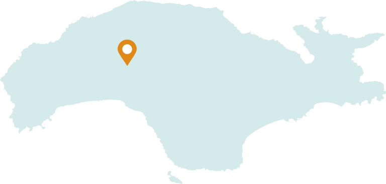
Agioi Theodoroi
- 10 km from the port of Karlovasi
- 47 km from the port of Samos
- 28 km from the airport
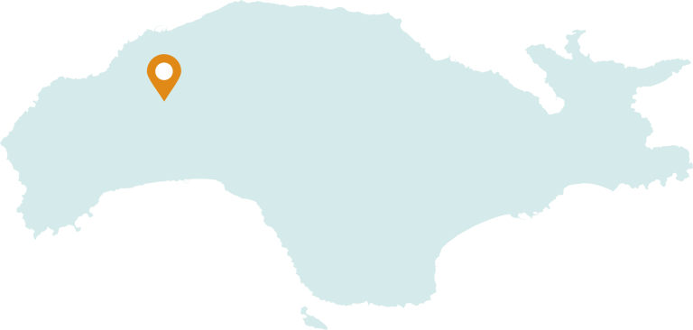
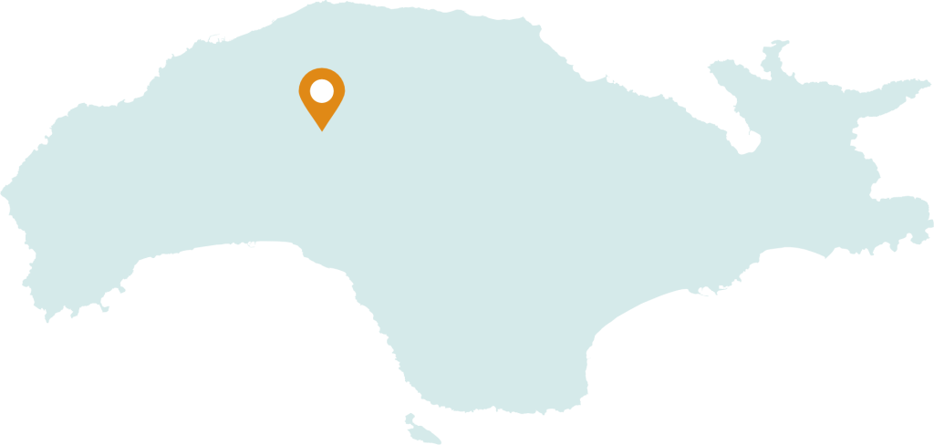
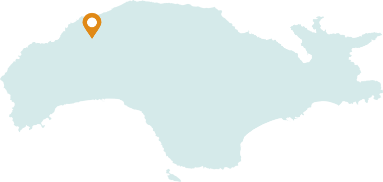
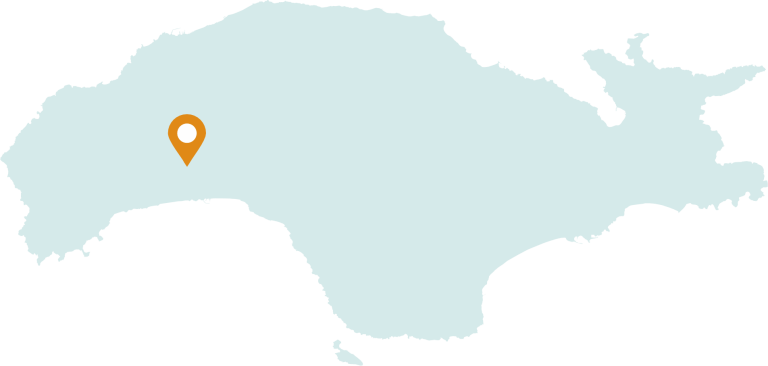
AgioiTheodoroi is a village in western Samos, between the mountains of Kerkis and Ampelos and at an average altitude of 300. It is 6.5 km S. of Neos Karlovasi and approximately 39 km. W. of the city of Samos. The local community is characterized as a semi-mountainous rural settlement, with an area of 2,957 sq.m. AgioiTheodoroi was a small settlement at the end of the 19th century with the name “Kaveseika”, after the first resident Dimitris Kavesis. It was then renamed AgioiTheodoroi from the church that is built in the center of the village. The inhabitants are mainly engaged in viticulture and a small number in stone processing. According to the 2021population census, it has 93 inhabitants.
Agios Konstantinos
- 17,3 km from the port of Samos
- 19 km from the port of Karlovasi
- 31,3 km from the airport
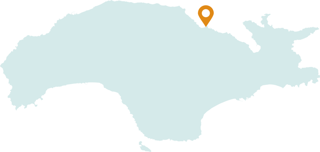
The village of Agios Konstantinos is approximately 20 km from the capital of Samos and 12 km from Karlovasi. The village was created at the end of the 18th century and extends into two zones, which include the coastal zone of Ormos, 1 km long, and the zone of Ano Agios Konstantinos. During the Hegemony period, it was a single municipality together with the villages of Ampelos, Stavrinides, Manolates, Margarites and Valeondades, a residential complex of the “Six Neighborhoods”. Until the twentieth century, the inhabitants of the village were mainly engaged in olive and fruit trees cultivation, while the tourist business is now added to the agricultural occupation. Points of interest are the agro-forestry, verdant areas that Kacorema crosses, such as “Platanakia” and “Aedonia” which got their name from the thousands of birds found in the area, the registered hiking trails, the church of Agios Konstantinos built in 1790 , the church of Panagia in Ano Agios Konstantinos which celebrates on the fifteenth of August and the buildings of local architecture that are still preserved today in both zones of the village. The population of Agios Konstantinos according to the census of 2021 concerns 331 inhabitants.
Ampelos
- 21,7 km from the port of Samos
- 35,6 km from the port of Karlovasi
- 14 km from the airport
The village of Ampelos, or Nenedes as it was called until 1957, is located in the northern part of Samos on the slopes of Mount Karvouni at an altitude of 290 meters and at a distance of 24 km from the capital of Samos. The village is surrounded by vineyards, orchards and forest lands presenting a strong call, amphitheater towards the coast of Asia Minor and Chios. Two settlements, Livadaki and Petalides, belong to Ampelo. Ampelos has hiking, marked trails, the most famous of which is the one that leads to the cave and the waterfalls of the village, a reference point for winter and spring. Ampelos is built with the traditional Samio architecture, while the points of interest include the church of Saint John theBaptist which was built in 1966 on the ruins of older churches, with the oldest dating back to 1672. It is connected via a 4 kilometer long country road to the Vatheos Karlovasi National road. According to the 2021 census, it has 220 inhabitants.
Ano Vathi
- 2,5 km from the port of Samos
- 33 km from the port of Karlovasi
- 14 km from the airport
Ano Vathi is located in the north-east of the capital of Samos and then between the Koutsomylos and Varela hills. The settlement was created between the 16th and 17th centuries in order to protect the inhabitants from pirate attacks. A lot of information and signs are revealed from the Greek revolution to the union of the island with Greece and the traditional architecture of Ano Vatheos have led to the current development of the capital of Samos. In the heart of the settlement, two towers dominate, characteristic examples of a residence with a fortified character, the Tower of Captain Lachanas (1717) and the Tower of Agha Giannakis (1735). Ano Vathi stands out mainly for its dense construction and the small scale of its buildings which follow the traditional building practice, the sakhnisi, an element that, in combination with the old cobblestones, characterizes the architectural morphology of the settlement. Due to the limited buildable space in Ano Vathi, the extension of the buildings over the cobblestones is often encountered, which was carried out using the transversal method. The most important attractions of the settlement are: Panagitsa Square in the center of the settlement where the church of Esodion is located, a three-aisled basilica with a dome (17th-18th century), the Church of Agia Kara (St. Michael of Synadon), the Church of St. Antoniou, the church of Ai Giannakis which dates from the year 1799, the Church of Panagia, as well as the visitable 1872 fountains located in the center of the village, in Panagitsa and Agios Antonis with fresh, drinking water, the preserved neoclassical buildings (1901), the Primary School and the local community building. Ano Vathi was designated in 1974 as a settlement of special natural beauty. During the 2021 census, 3,767 permanent residents were recorded.
Vourliotes
- 25 km from the port of Samos
- 20 km from the port of Karlovasi
- 31 km from the airport
The village of Vourliotes is located at an altitude of 360m.on Mount Karvounis. The village was built around the year 1615, although Ottoman documents place its construction 14 years earlier, in the year 1601. In the Ottoman chronicles the village is recorded as Ural, thus indicating the place of arrival of the inhabitants which was the Vourla of Asia Minor. Southeast, at a short distance from the villages, is the oldest monastery of Samos, the monastery of Panagia Vrontas, which was founded in 1566 on or near the ruins of an older monastery. Points of interest are the village square, the neighborhoods with their picturesque stone-paved alleys and traditional loggias. The friendly and hospitable inhabitants of the village are engaged in the primary sector, mainly with viticulture since the soil conditions of the area help the production of very good quality wine. The Local Community of Vourliotes belongs to Kampos Vourliotes, and the seaside settlement of Avlakia, where during the Hegemony period a customs office and port station operated, from where ships for the East departed. In the village of Avlakia, the churches of Metamorfosis of Sotiros and Agios Nikolaos and a fountain from 1876 are some of the sights of interest. The population of Vourliotes is about 455 inhabitants (census 2021).
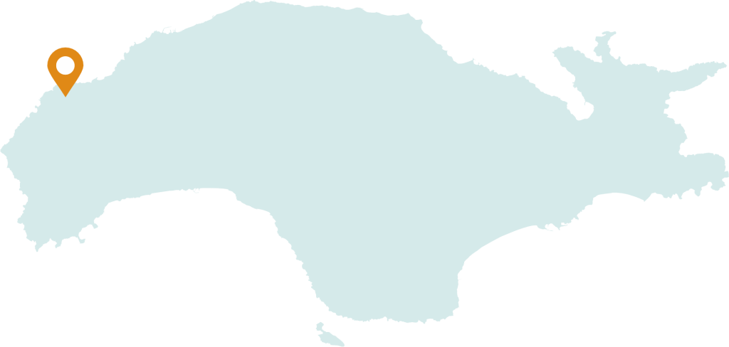
Drakaioi
- 44 km from the port of Karlovasi
- 70 km from the port of Samos
- 56,6 km from the airport
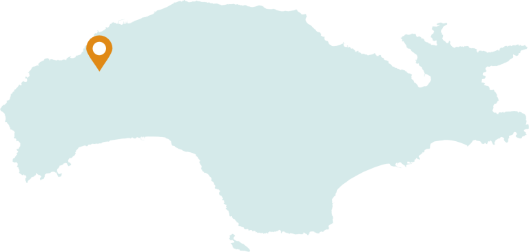
Drakaioi village is located at the westernmost tip of Samos, north of Kallithea and southwest of Karlovasi. It is built in a secluded part of Kerkis and is connected by a country road to Karlovasi via Marathokampos. Its area is rocky, steep and barren, but there is quite a lot of vegetation. It has a very magnificent sea view towards the northwest. It is worth watching the fantastic sunset especially during the summer months. It got its name after the first resident who was called Drakos and together with Kallithea village used to form the municipality of Kalambaktasia. The village Drakaioi,, offer a beautiful experience to their visitors due to its location. The residents are mainly farmers and breeders. At the coastal settlement of Agios Isidoros there is a small shipyard for wooden boats and boats. The village church, Agios Georgios, is one of the oldest churches on the island dating to the 13th century. According to the last census in 2021, the population was 75 inhabitants.
Ireon
- 19,7 km from the port of Samos
- 33,3 km from the port of Karlovasi
- 5,9 km from the airport
The seaside area of Heraion was already inhabited from the second half of the 5th millennium BC. The settlement of the same name is internationally famous for the Temple of Hera, the largest temple in Greece, as mentioned by Herodotus, with its 105 columns, one of which it remains standing to this day, at a height of 11 m. to half the original height of the columns. Part of the temple complex is also the stone-paved Sacred Way, which led to today’s Pythagorean. The Temple of Hera was declared a World Heritage Site by Unesco in 1992. Ireon is about 22 km. from the capital. Its inhabitants are mainly engaged in tourism and less in agriculture and fishing. The settlement is the port of the Pagonda community. In addition to the archeological site, the old fishermen’s huts on the beach, the quality cafés and beach bars, the successful summer cultural events, the three-day “Ireon Music Festival”, attract interest.
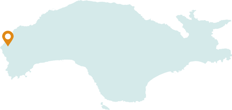
Kallithea
- 37 km from the port of Karlovasi
- 63 km from the port of Samos
- 50 km from the airport
24 km after the village of Marathokampos, you will come across the village of Kallithea. It used to be called Prinias because of the bushes that grew in the area. United with the village of Drakaios they formed the municipality of Kalambaktasia but later they were divided into two villages. Kallithea is the western village of Samos and has a stunning view of Ikaria and Chios. In addition, it is famous for its breathtaking sunset, especially in summer. The locals live by agriculture, mainly olive tree cultivation and livestock. In the past, the village produced coal. Several dirt roads lead to the beach of Agios Isidoros located in a small cove. Agios Isidoros is one the last traditional shipyards still in operation. In the past there were quite a few and they made wooden caiques and boats. Another dirt road leads to the mountain, at Askitaria, at an altitude of about 700 meters. The place takes its name from the numerous churches, some built in caves, where hermits and monks lived. The area is covered in dense vegetation and offers excellent views. In the 2021 census, the inhabitants were 143 people. Kallithea is well known for the sunset, especially in summer.
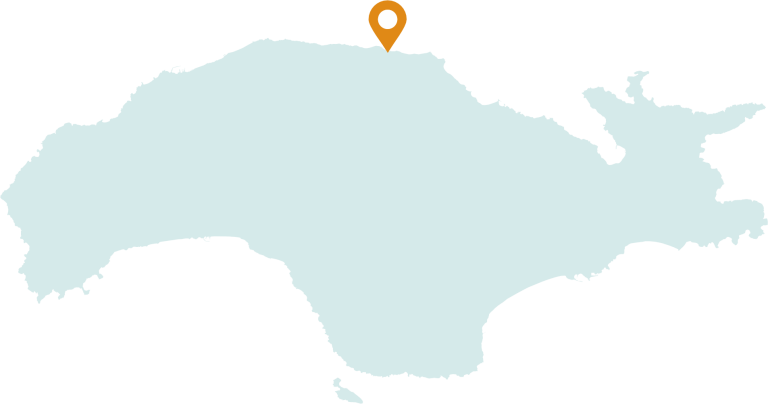
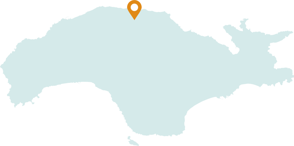
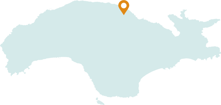
Karlovasi
- 1,5 km from the port of Karlovasi
- 29 km from the port of Samos
- 35 km from the airport
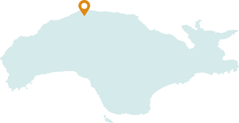
Karlovasi is the largest Municipal Community of the island of Samos and constitutes the capital of the Municipality of West Samos. Geographically it is located between Mount Kerki which is the highest mountain in the Aegean with an altitude of 1434 and Mount Karvouni and is located on the north side of the island of Samos. Second in population but first in size city of the island. It is divided into Old, Middle and New Karlovasi, Ormos and Limani. An island state with fresh running waters, beautiful neoclassical buildings and old mansions, old industrial center with the tanneries which were the largest industrial center of the eastern Mediterranean at the beginning of the last century. Near town there are some mountain villages with their unique traditional appearance complement the beauty of Karlovasos. The city is the seat of three departments of the University of the Aegean which, apart from their educational importance, strongly add the element of youth to its everyday life and its night life which is particularly intense throughout the year.
ReadMoreLess
In Neo Karlovasi, in addition to the picturesque alleys surrounding the central square, the visitor will find a set of cafes and restaurants and a lively shopping area. In Ormos Karlovasi are the neoclassical mansions of the previous century and the industrial zone of the old tanneries, which are of particular interest from an architectural point of view. In Meseo Karlovasi you will find a wonderful cobbled traditional square full of restaurants and cafes and many routes between its neighborhoods within the dense fabric of its old buildings. At the Port of Karlovasi, the visitor will be able to enjoy delicious food by the sea, relax in one of the many cafes and experience the intense night life during the summer or take a swim at the nearby beach. In Paleo Karlovasi high above the port you will experience the wonderful view and feel that you are on a small island which instead of the sea is surrounded by a dense forest with wonderful walking routes. The cave of Agios Antoniou with the church is one of the highlights of the area. Another point of historical interest is the Karlovasi Leper Asylum at the eastern end of the city, which operated from the mid-19th century until the mid-20th, while in all the main areas of the city visitors will encounter magnificent temples from the Samian Hegemony period. A little further west is the unique Potami beach which is surrounded by green slopes, while in the center of the gorge we find the waterfalls of the stream which pours into the sea. In the Potami area there is a Byzantine temple which is celebrated on August 6 as well as the Venetian castle at the top of the hill. All these are at a distance of 1.5 kilometers from the Port of Karlovasi. Then, through organized paths, the visitor can hike to small Seitani at 2 kilometers from Potami beach and large Seitani at 3 kilometers. The beaches can be also approached by private boats. According to the last census of 2021, the population of Karlovasi is 7,363 inhabitants.
Kastania
- 8 km from the port of Karlovasi
- 35 km from the port of Samos
- 33 km from the airport
Kastania is located in the west of the island, at the foot of Mount Kerketea (or Kerki), at an altitude of about 360 meters, 5 kilometers southwest of the center of Karlovasi, the capital of the Municipality of West Samos. The presence of numerous springs and waters allows the cultivation of chestnuts and other deciduous trees. Vineyards can be seen below the village, as most of the inhabitants are engaged in agriculture, especially that of the vine. In the old days, their main occupation was the logging of Sami timber, which was in great demand. The village as a whole is an attraction for visitors. Its architecture, its vegetation and its squares have a unique beauty. The village church celebrates on August 23. In the area between Leka and Kastania is the church of AgiaTriada. The church existed at the time of Iosif Georgirinis (1672), while Emmanuel Kritikidis considers it as one of the churches that existed before the island’s desolation. Kastania has also marked the more recent history of Samudioti, on August 30, 1943, the Italian invaders executed twenty-seven villagers in cold blood, personally punishing all Samians for their participation in the Resistance. Kastania is a symbol of the resistance history of Samos.
Kokkari
- 8,5 km from the port of Samos
- 22,6 km from the port of Karlovasi
- 22 km from the airport
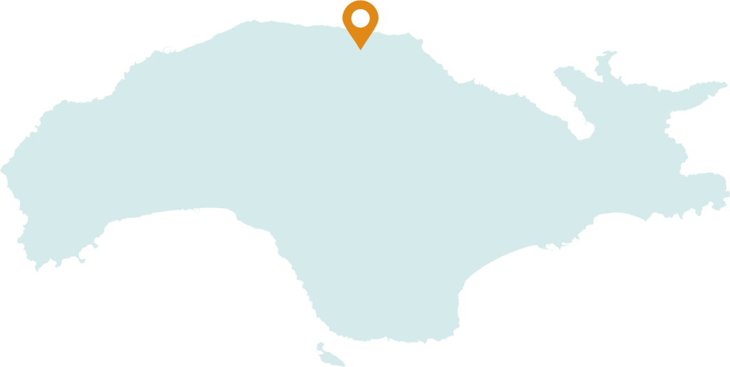
Kokkari was created in the 19th century on the remains of an early Christian settlement which was abandoned due to pirate raids. In the past it was the port of Mytilinioi village. It is about 11 km northwest of the city of Samos and is one of the most developed touristic seaside communities of Samos which was established in 1918. Points of interest in Kokkari are the church of Agios Nikolaos and the small harbor with the old houses. Kokkari has an organized beach approximately 1 km long and suitable weather conditions for windsurfing due to the high altitude (1,153 meters) of Mount Karvounis and the winds in the area. In the village there are a lot of hotel units and rooms for rent as well as catering businesses. Hiking trails start from the village towards Mount Karvounis. The main occupation of the 933 inhabitants of Kokkari is tourism. Every year, on the 27th of July a big festival is held as part of the celebration of Agios Panteleimon.
Kontakiaika
- 7,4 km from the port of Karlovasi
- 26,6 km from the port of Samos
- 34 km from the airport
Kontakaiika village is located in the northwestern part of the island of Samos and is 28 kilometers from the capital Vathi and 5 kilometers from Karlovasi.It is built on the northwestern foothills of Mount Karvouni, with an altitude of 162 meters. The area has dense forests with exceptional natural beauty. Sights of the village are its church which is dedicated to the Birth of the Virgin and dates back to the 19th century, several chapels, as well as the village square which is an example of island architecture, the old fountains and the well-preserved stone-built Primary School. Ideal routes for walkers are Kastrovouni and Panagia Petalouda. For book lovers, there is a library in the center of the village. According to the 2021 census, it has 1077 inhabitants.
Kodeika
- 9 km from the port of Karlovasi
- 34,7 km from the port of Samos
- 26,3 km from the airport
Going uphill from the center of Neo Karlovasi, we head towards Kodeika, which is only 6 kilometers away. On the route we pass through Megali Lakka, a lowland area with vineyards where the monastery of Prophet Ilias is, as well as many chapels (Agios Panteleimonas, Agia Paraskevi). At an altitude of 300 meters, Kodeika is located on a slope, hidden in hills away from the sea. The village square is ideal for coffee in the afternoon and snacks in the summer evenings. In August, local clubs organize wine festivals where there are big feasts. Ornaments of the village are the church of the birthday of the Virgin Mary, which celebrates on September 8, the Primary School and the recently renovated and visitable flour mill on the upper side of the square. There the visitor can see a typical Sami house of the last century, downstairs the old flour mill and the tools that were used. The main activity of the inhabitants is the cultivation of olives and vines, while in the past it was tobacco cultivation. In the nearby area is the chapel of Agios Therapondas from where the view towards the village but also towards the valley of the Fourniotiko stream, Hydroussa, Karlovasi and the Karvounis mountain is amazing. Other chapels in the region are AgiaTriada and Panagitsa of Keramida, at the foot of the Karvouni massif. Leaving Kodeika, we can head either to the village of AgioiTheodoroi (right) or to the village of Platanos (left). The route to Agioi Theodorou is unique. According to the 2021 census, it has 292 inhabitants.
Kosmadei
- 12,2 km from the port of Karlovasi
- 42 km from the port of Samos
- 41 km from the airport
Kosmadei village is located in the northwestern part of Samos, at a distance of 12 km from Karlovasi. The route is exceptional passing through the greenery of nature and its gurgling waters. The village is built on the slopes of Kerki and has an amazing view of the sea that rewards you for the effort you made to climb so high. Sights of the area are the church of Panagia which is celebrated twice a year, organizing a big festival on August 15, the old laundry of the village in the upper neighborhood, and the aqueduct. The visitor also deserves to visit the 2 traditional cafes with a wonderful view, for coffee and food. From Kousmadaiou, after crossing a path truly drowned in greenery, you find yourself in front of an old, beautiful monastery built at an altitude of 580 m in the Kakoperato ravine, which is dedicated to the Life-giving Spring. The area of the local community also includes Seitania, Mikro and Megalo. They are two beautiful beaches, with natural beauty, both included in the NATURA 2000 protection program, because of Monachus Monachus seals in the area. Access to the beaches is only on foot. The village is home to 72 people, as of the 2021 census, who are mainly engaged in agriculture and livestock.
Koumaradei
- 24,7 km from the port of Samos
- 25,1 km from the port of Karlovasi
- 11,6 km from the airport
Is located on the southeast side of Karvounis at an altitude of 330 meters at a distance of 26 km from the city of Samos and 12 km from from Pythagorio. The Koumaradians are famous for their pottery art, traditional textiles and aromatic plants. The village overlooking EptastadiosPorthmos, Mykali, Pythagorion, the plain of Chora and Heraion produces olive oil and herbs. At a distance of 2.5 km is the Monastery of Megali Panagia which was built in 1586 by the monks Nilos and Dionysios. Every year the villagers organize the feast of Agios Georgios and Agios Panteleimon. In the 2021 census, 92 residents were recorded.
Koumeika
- 16 km from the port of Karlovasi
- 38 km from the port of Samos
- 25,4 km from the airport
The village of Koumeika is located in the southern part of the island on the southwestern slopes of Mount Ampelos (or Karvouni). It is a picturesque village, with beautiful architecture and a large square where the visitor has the opportunity to rest under the shade of the century-old plane tree planted by the monk Ioannis Pantzatzakis in 1882. In the same year, the imposing public fountain with 3 taps was built, which has been classified as a historical monument since 1998. The village preserves important elements of the local traditional architecture and has been designated as a settlement of special natural beauty. According to the last population census, it has 323 permanent residents and the economy is mainly based on agriculture (oil, vegetables and the famous onions). In the past they also grew anise and carob for animal feed. By the middle of the 20th century about 20% of the male population was seamen. In Koumeika, on the 5th of August on the eve of the Feast of the Transfiguration of the Savior, one of the biggest festivals of the island is organized.
Lekka
- 4,8 km from the port of Karlovasi
- 32,4 km from the port of Samos
- 33,4 km from the airport
Lekka is, built on the northeastern foothills of Mount Kerkis, near the town of Karlovasi. It is one of the oldest and largest villages of the island. It is built in the middle of a green landscape with an excellent view to the north, of Karlovasi, and the Asia Minor beaches across, as well as the island of Chios. Lekka has 21 chapels Agios Ioannis Thermasti, which is celebrated on August 29 with traditional festival that gathers a large number of people from all over Samos. According to the 2021 census, it has 380 inhabitants. The village was probably founded in 1715, by Ioannis Lekkas who came from the Peloponnese probably to escape the persecution of the Turks. It preserves important elements of the local traditional architecture and has been designated as a settlement of particular natural beauty, with many restrictions on the construction of new houses. The beautiful square with the big plane tree, the traditional cafes, the wonderful view, the beautiful traditional houses and the many mansions, combined with the hospitable people certainly do not go unnoticed by the visitors. It is an ideal destination for those looking for tranquility and beauty in Samos. The inhabitants of Lekka were mainly farmers, so many traditional foods have to do with the products produced in the village. Vines, olives and vegetables were cultivated in the village. In the cafes of the village you can find local dishes, such as Petimezi, Mustalevria, Mustopita, Suma, Grape spoon dessert, etc.
Manolates
- 20,5 km from the port of Samos
- 18,3 km from the port of Karlovasi
- 28,1 km from the airport
The village of Manolates is one of the most picturesque, mountainous villages of Samos. The village is located on the north side of the island, at an altitude of 370 meters of Mount Karvounis, it is 4 km from the settlement of Agios Konstantinos and offers a panoramic view of the Asia Minor coast. In Manolates there are workshops for ceramics, weaving, making handmade jewelry and handicrafts, traditional products as well as a private folklore collection. The inhabitants of Manolates are mainly engaged in viticulture, – besides, the village is famous for its good wine – but also the production of olive oil and fruit. The village of Manolates, due to its natural beauty and unique picturesqueness, with its cobbled streets, colorful houses that are characteristic examples of local architecture, traditional cafes and taverns, is one of the most interesting areas of the island. Rooms for rent are available in the village. Important attractions are the marble fountain in the central square, as well as the ZoodochosPigi church where, during the celebration of Diakainissimos Friday, a great festival is held and the traditional “feast” porridge is offered to the people. The wider area of the village has a network of marked paths and the walker can explore the extraordinary natural beauties that the place offers.
Marathokampos
- 15,9 km from the port of Karlovasi
- 42 km from the port of Samos
- 31,7 Kkm from the airport
Marathokampos, the capital of south west Samos, amphitheatrically built in the south east slopes of Kerkis and on the outskirts of Fteria, 400 meters above the sea, with a panoramic view of Samiopoula, Fournos and the Dodecanese. It was founded in the second half of the 16th century, with the recolonization of Samos by Kilij Ali Pasha. The village, traditionally built with porticos, loggias, roofs with cornices, arches above the paved alleys, tightly packed with stone-built tile-roofed buildings, churches, fountains, laundromats and neoclassical buildings still remain from the past. The streets are narrow and winding with many arches. All these are true ornaments that emphasize the picturesqueness of the village and impress the visitor. The Marathokambites, influenced by the morphology of the land, are characterized as follows: “the people like this, as assimilated to the position of the place, are rough, brave, short-tempered, straight and liberal, robust and beautiful”. These characteristics are proven by the history of the village. Marathokambos is also known for the local custom of “rifles” (later “shells”), which survives from the years of the Turkish occupation. Every church of the village several days before Easter has old World War II projectiles filled or improvised shells, the so-called “skavetsa” or “lamnakia”made, which explode on the surrounding slopes of the village and their fires… become the peaceful greeting of Resurrection of Christ. The custom is reverently observed the villagers of all generations (children, young and old). If the visitor finds himself in the village on Easter Sunday, he will surely be impressed by the sight. Today, the Municipal Unit of Marathokampos of the Municipality of West Samos, has a population of 2609 inhabitants in total and especially the community of Marathokampos, 1690 (according to the last census of 2021). In addition to its agricultural and maritime identity, it has also particularly developed its touristic identity. During the summer season, the area of Marathokampos is a pole of attraction for visitors. The traditional fishing village of Ormos, Kampos and Psili Ammos with their enchanting beaches of several kilometers, picturesque Limnionas as well as the lonely coves, the coasts with sea caves and lace Akrogialia welcomes Greek and foreign tourists every summer.The vacationers enjoy the crystal clear waters, their pleasant stay in modern hotel units and rental apartments, and the exquisite delicacies in the picturesque taverns, making their holiday unforgettable.
Mavratzeoi
- 21,2 km from the port of Samos
- 30,7 km from the port of Karlovasi
- 9 km from the airport
Mavratzeoi village is located at an altitude of 270m. from Karvounis and is approximately 20 km from the town of Samos and 6.3 km from Chora. The village, which was created at the end of the 18th century, has special elements of traditional architecture, which led to its designation as a settlement of special natural beauty. The most important points of interest are the Folklore Museum where a rich collection of photographs and paintings related to the tradition and customs of the region, bronze tools and objects as well as ceramics are on display, testifying to the intense pottery activity and large production that began in the 19th century century, the Churches of Agios Georgios which was rebuilt in 1901 and of Agios Spyridon, as well as the monastery of the Holy Cross. The village square with the traditional cafe, as well as the paved cobblestones, is also interesting. The settlement of Gionide is located at a distance of 2 km. The population of Mavratzai concerns 269 inhabitants according to the census of the year 2021.
Mesogeio
- 30,5 km from the port of Samos
- 25 km from the port of Karlovasi
- 17,8 km from the airport
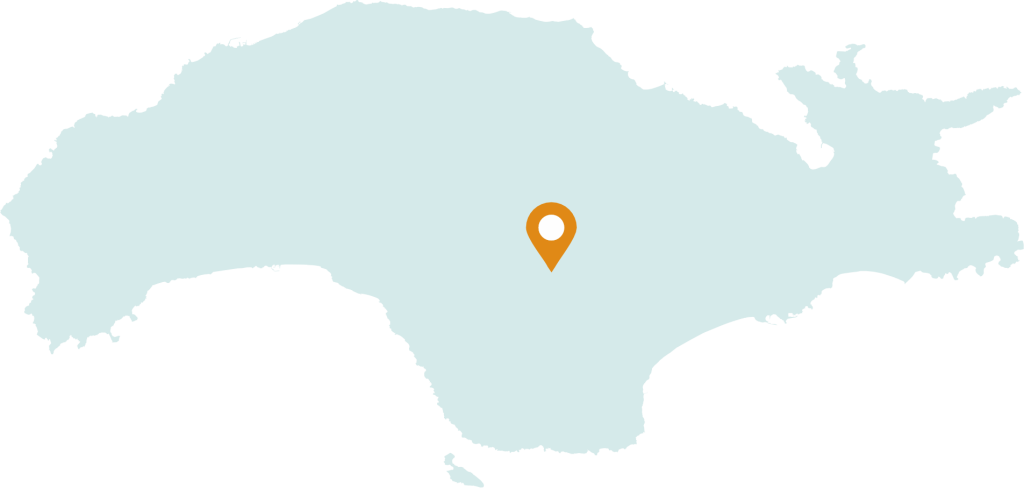
The village of Mesogeio is located in the center of the island at an altitude of 620 m. on Mount Karvouni, surrounded by vineyards, olive trees and forests. To the northeast it borders the village of Pandroso and to the southwest with the village of Pyrgos. It is 19 km from Pythagoreio and 32 km from the city of Samos. In the past, the village was called Lower Arvanites. The Cultural Association “ZoodochosPigi” is active by preserving and disseminating the folklore of the village. The church of the village is dedicated to the miracle of the ZoodochosPigi of Panagia and is celebrated on the Friday after Easter. At the entrance of the village, the Folklore Museum has been operating since August 2009, which, combined with the natural beauty of the area, constitute remarkable points of interest. During the census of the year 2021 the population of the village was 110 inhabitants
Myloi
- 20,5 km from the port of Samos
- 29,9 km from the port of Karlovasi
- 6,3 km from the airport
At a distance of 19 km from the city of Samos is the village of Myloi, famous for the quality production of citrus products. The few Samians who remained on the island after its desolation, which was caused by successive pirate raids, are considered to have chosen Myloi for their resettlement in the 16th century, where they created the island’s first capital. At first, the village was named after the Turkish admiral Kilic Ali Pasha, under whose leadership Samos was repopulated, while later, it was renamed “Mills” because of the many watermills in the area. Points of interest are the river Imbrasos that borders the village on the banks of which grow walnut trees, plane trees and rich forest vegetation, the central square of the village, the chapel of Agios Georgios and the monastery of Megali Panagia. According to the 2021 census, the village has 232 inhabitants.
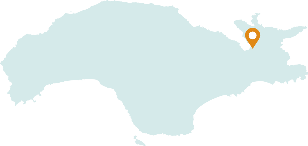
Mytilinioi
- 11,4 km from the port of Samos
- 32,9 km from the port of Karlovasi
- 6 km αfrom the airport
Mytilinioi is the largest village of Samos. It extends on the eastern side of the island, at the foothills of Karvounis at an altitude of 130 meters. The first inhabitants of the village appeared in the 16th century during the re-settlement of the island, who came from the village of Vrisa in Mytilene, from where the name of the village arose. During the interwar period the village had a population of around 7,500 inhabitants. On the main street of Mytilene is the community office and the Primary school,called Efthymia School, as well as the Spiritual Center, which during the hegemony was a Girls’ School. In Mytilene there are six large churches as well as metochia from both the Patriarchate of Jerusalem and the monastery of Kykkos in Cyprus. East of the village is the Monastery of AgiaTriado, the newest monastery of Samos (1824). At the exit of Mytilene the natural history museum – paleontological museum of Mytilene, Zimali foundation is built- which exhibits paleontological findings from the area of Tsarouhis, while exhibits from the fauna and flora of Samos are kept as well as the kaplani of the showcase known throughout the world from Alki Zei’s book. A special attraction of Mytilene is the “Bridge of God”. It is a natural geological phenomenon that was created during the water’s route to the Great Stream of Mytilene. A few meters outside Mytiliniou on the provincial road Vathi Mytiliniou there is the illuminated and visitable Great Bridge with total dimensions of 70 m. length, 7 m. width and 10 m. height, which was built during the period of the hegemony. It is a three-arched bridge, with two even smaller arched arches, one for the passage of farmers and one to channel the water to the watermills that existed along the Great Stream. The architect of the bridge was the Polish Surlolewski. Another bridge of smaller dimensions is that of Economos, or Vrontas as it is commonly called because of the small waterfall formed in winter by the flow of the Great stream. The name of the bridge came from the former president of the village. In the area of the Eupalinei Trench, on its northern side, is the source of Agiades, which supplied water to the trench and, by extension, to the city of ancient Samos. On the opposite hill are the ancient quarries from where the materials for the construction of the great temple of Hera were mined. The community of Mytilene once a year holds a big festival to celebrate the 15th of August in honor of Panagia in the central square of the village, as well as Klidonas, one of the most ritualistic customs of the place with traditional dances and events, during which large candles are lit bonfires, over which people jump while participating in the feast. The village also hosts the music and dance evening of the Firefighters Association as well as summer Greek music evenings. This year for the first time the community held a feast for the Kouloumas as well as on the second Sunday after Easter a gathering with roasted lambs is organized to support the financially weaker villagers. In order to highlight and preserve the customs, cultural and historical values of Mytilini, several associations are active in the village such as: The Cultural and Educational Association of Mytilini Samos, with a large and long-term contribution to the cultural events of the island and generally to the fine arts. In fact, the custom of Klidon is organized every year by the association as well as various other events. The Cultural Association of the ApantachouMytilini of Samos with the aim of strengthening and preserving the morals and customs among its members, but also informing the expatriate villagers about the news of the village, through the newspaper it publishes. The Sports Training Association “Finikas” of Mytilene, which competes in the A’ division of football in the prefecture of Samos with its own stadium and football academy. The Volunteer Fire Brigade of Mytilini. “FRIENDS OF THE FOREST”, is active offering 24 hour observation patrols during the fire season, as well as other actions for the community of Mytilene.
Neohori
- 18,4 km from the port of Karlovasi
- 34,6 km from the port of Samos
- 22 km from the airport
Neohori It is one of the small villages of the island and was formerly called Zouraika from the surname Zouras. It has 137 houses and today less than 100 inhabitants, especially in winter. The only product it produces is oil. Near Neochori, in the place ‘Gouva’ and in a small area, the traces of an ancient village are preserved. In this place, someone who was digging his field found many tiles and among them a tile ploughshare with a circular stamp which wrote the name “Hiniochus”.
Pagondas
- 24,3 km from the port of Samos
- 36,6 km from the port of Karlovasi
- 10,2 km from the airport
The village of Pagondas is located south of the island, at a distance of 26 km from the city of samos. Built at the foothill of Bournia, it is one of the first villages of Samos that was founded in the 16th century, after the re-settlement of the island, as well as one of the largest and richest villages due to the activity of the residents in the primary sector. In recent years, the village has also benefited from the development of the tourism industry in the Heraio settlement, which belongs to the Pagonda community. The settlement of Kolona also belongs to the same community. The Pagonda Folklore and Historical Museum operate in the village. Points of interest are the Holy Church of the Holy Trinity, the square and the public laundry with a panoramic view of the village, the plain and the coast of Asia Minor. According to the 2021 census, the population of the village is 1342.
Paleokastro
- 8,3 km from the port of Samos
- 38,3 km from the port of Karlovasi
- 16,4 km from the airport
The village of Paleokastro, built in the center of a small plateau, is 7 km southeast of the city of Samos. Its population concerns 728 inhabitants who are mainly engaged in agriculture. The village, surrounded by a fertile valley, was created in the 16th century. It is one of the first villages of Samos to be re-inhabited after around 1475 when many Samians left the island due to pirate raids and settled in Chios and the Asia Minor coast. Geographically, it follows Vathi and Ano Vathi, while various archaeological finds around the area reveal signs of habitation from late antiquity. In the center of Paleokastrodominates the church of Ai Giorgi, built in 1754.Hiking routes begin from the village heading to the seaside, of Psili Ammos, Klima, Posidonio and Kerveli which are full of small hotels, restaurants and beach bars offering the visitors unforgettable holiday experiences.
Pandrosos
- 26,9 km from the port of Samos
- 26 km from the port of Karlovasi
- 18,8 km from the airport
Pandrosos is located in the center of Samos, on the south side of Karvounis at an altitude of 630 meters at a distance of 33 km from the city of Samos. It is the most mountainous village of the island and of all the Aegean islands. The village was built near the sources of the river Imbrasos. To the east of the village are Kastrakia and a fortified castle, where at the beginning of 1900 the church of Agios Nikolaos was built and since then it received the name “Castle of Agios Nikolaos” in which the inhabitants of the village always found refuge. The roads from the plain to the village passed under the castle of Agios Nikolaos and through the gorge of Korytos with the spring of the same name and were fully controlled in the old days for invaders or pirates. South of the source of Agios Nikolaos is the Kotroni of Agios Dimitrios with its cyclopean walls. The area has been inhabited since ancient times, while it was never deserted like other villages of Samos. Pandrosos, due to its location and the climatic conditions during the winter months, looks like a natural fortress where other Samians who were chased by pirates often found refuge. In fact, the Mathematician Pythagoras of Samios also found refuge in the area of Pandrosos, as the top of Karvounis is suitable both for observing the whole island and the wider area, as well as the starry sky where the celestial dome can be seen in its entire spectrum. During the hegemony, Pandroso was an autonomous Municipality which included the village of Mesogeio. According to the Samian Legislation of 1875, Samos had 28 Municipalities. The Municipality of Pandrossos contributed to the major projects that were carried out on the island, as well as to the respective wars, both with taxation and with the personal work of its residents. During the Second World War, the village received additional residents from the surrounding areas. The streets of the village do not follow geometric patterns. The village is crossed by a main road that passes through the central square and ends at the church. The buildings are stone-built, two-story and attached to each other for reasons of economy and protection. The biggest festivals of the village are on October 26th at the feast of Agios Dimitrios church, and on July 20th at the feast of the Prophet Ilias which is located at the top of Karvounis. In the past the inhabitants of Pandrossos were engaged in agriculture and livestock. Their estates started from the top of Karvounis and ended in the Heraion plain. Most of the olive fields in the Chora plain were owned by Arvanitian residents. At that time the inhabitants of the village maintained roads and bridges with their own means while having a strong sense of solidarity. Due to the difficult living conditions after 1800, many moved to other villages of Samos, taking the nickname of “Arvanitis” as their last name. From 1900 onwards, many residents immigrated to America, Australia and Athens. The area around the village is included in the Natura 2000 list. Today the village is inhabited by 81 inhabitants according to the 2021 population census. Since 2004, the Pandross – Samos Cultural Association “Agios Dimitrios” has been operating with the aim of reviving old customs, highlighting and assisting cultural and religious events while improving the village image.
Platanos
- 37,2 km from the port of Karlovasi
- 37,7 km from the port of Samos
- 23,4 km from the airport
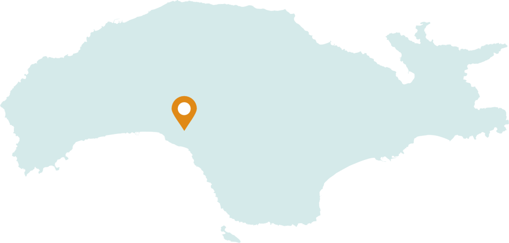
Samos is known for its beautiful nature, its deep blue beaches and its traditional villages. Platanos is one of those destinations that attract visitors with its architecture, narrow streets and the beauty of the landscape. It is an ideal place to enjoy the tranquility and the authentic feeling of Greek island life. Platanos is located in the central part of the island at an altitude of 520 meters at the western foothills of Mount Karvounis. It is about 10 km S.-SE. from Neo Karlovasi. The inhabitants of the village are mainly engaged in agriculture and beekeeping and less in tourism, while it is known for its vineyards and wines belonging to the – PDO Samos zone. The parish church is the church of Agios Georgios, while the Church of the Assumption (from the 17th century) and its public fountain in the square (built in the 17th century – rebuilt in 1837) are considered the main attractions. The central Square of the village, with the three large plane trees and the fountain with the well known Plataniot water, is the meeting point for the locals and the visitors. Along with the fountain, other important buildings of the village are its two Churches, the School with the National Resistance monument and the Laundries in the stream. According to the 2021 census, it has 340 inhabitants.
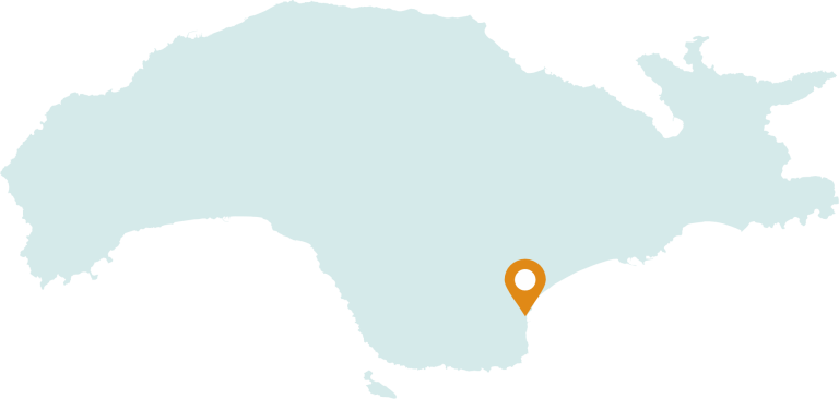
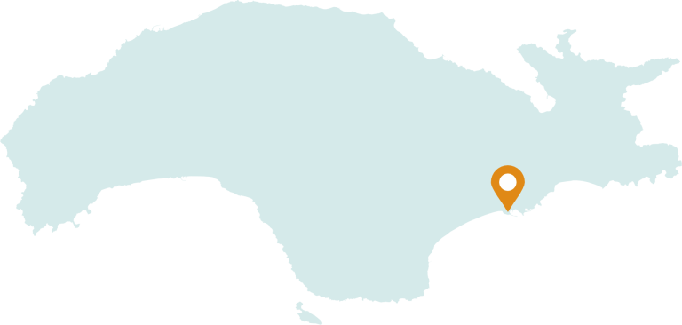
Pythagorio
- 12 km from the port of Samos
- 42 km from the port of Karlovasi
- 3 km from the airport
Pythagorio was created on the the ancient city of Samos. It is located on the SE edge of the island and is 12 km from Samos, the capital of the island. In the year 1955 it was renamed from “Tigani” to Pythagorean in honor of the famous Samian philosopher, mathematician Pythagoras, (580 BC – 496 BC). The first traces of human presence can be found in Pythagorion, at the end of the 4th millennium BC, on the hill of the Castle, while the excavations carried out in the village brought to light long fortification walls, paved streets and squares, mansions with marvelous mosaic floors , temples, market, public buildings, workshops, sports facilities from the largest of antiquity, baths, water and sewerage network but also the EupalineoOrygma and the port of the city with the piers and docks, one of the most important projects of the time. Since 1992, the Pythagorean, and the unique historical and mechanical value, “Epalinio Trench”, have been included in the list of UNESCO World Heritage Sites. The main points of interest are the Archaeological Museum of Pythagoras, the Statue of Pythagoras, the Archaeological Site and the Museum of the Castle in the harbor, the Holy Church of the Transfiguration of Sotiros, the Eupalinian trench, Panagia Spiliani, the Ancient Walls and the Pythagorean Glyphs. According to the 2021 population census, the inhabitants of Pythagorio are 1538.
Pyrgos
- 22,2 km from the port of Samos
- 28 km from the port of Karlovasi
- 15,4 km from the airport
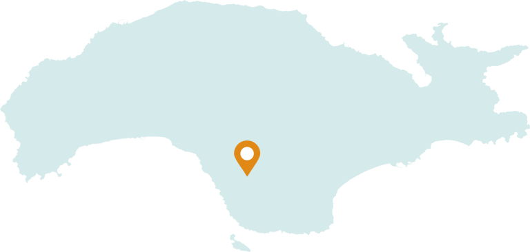
At a distance of 30 km from the capital and 16 km from Pythagorion, at the southwestern foothills of Karvounis, is the village of Pyrgos. The village was first inhabited in 1715 by Peloponnesians who are rumored to have originated either from the Tower of Ilia or from the Tower of Sparta. The prevailing opinion is that the Tower received its name from the Tower of Sparta since the Maniates, due to their rebellious character, were often expelled by the Ottomans and coming to Samos would enjoy the privilege of freedom that the island acquired after its resettlement in the year 1550. Pyrgos is one of the largest villages of Samos with increased activity in the primary sector. The village mainly produces honey, oil and wine, but also black pine wood. The village has buildings of traditional architecture built with the “sahnisi” method with a closed balcony. Points of interest are the Holy Church of Agios Georgios in the central square of the village, the Church of the Dormition which was built in 1888 and is celebrated on August 15, where after the service the traditional “keskeki” or feast is shared, which is made from meat, wheat, onions and oil. Also in the center of the village stands an old water mill. Through Pyrgos village the river Amfillisos flows south into Balos Koumaikon, while nearby is “Koutsi”, an area with plane trees and running water, as well as the small traditional shipyard for the construction of small wooden boats. In 2002, Pyrgos was designated as a settlement of special natural beauty. According to the 2021 census, the population of Pyrgos is about 340 inhabitants.
Samos
- 2,4 km from the port of Samos
- 32,7 km from the port of Karlovasi
- 16,9 km from the airport
The capital of the island was officially named Samos in 1958. It is located on the north-northeast side of the island, amphitheatrically built inside the National Port of Vathy, one of the three largest (1.5 km long) and safest, natural ports of Greece . Until the beginning of the 19th century, it was the port of the original settlement of Ano Vathi and was called “Limin Vatheos” or “Kato Vathi”, or “Gialos”. Between 1834 – 1849 the city was renamed Stephanoupoli, after Stefanos Vogoridis, the first Ruler of Samos. After the establishment of the Hegemony of Samos, it became the administrative center of the island. In the second half of the 19th century, the city of Samos experienced an increase in its population, and the need to rebuild many public buildings arose. After the integration of the island into the Greek state in the year 1912, an act ratified in the year 1923 with the Treaty of Lausanne, the city of Samos was designated as the seat of the prefecture. The main attractions of the capital are the Archaeological Museum of Samos where the 4.80m colossal kouros is exhibited, the Town Hall and the Municipal Gallery where the Parliament of the Samians was housed during the Hegemony, the Cathedral of Agios Spyridon, the Historical Archive of Samos , the Ecclesiastical Byzantine Museum of the Holy Metropolis of Samos, the Public Library and the Wine Museum in Malagari, as well as the neoclassical mansions on the coastal road but also around the central Pythagoras Square with the marble lion, the work of the French Bouchet. Also of particular interest are the cobblestones perpendicular to the coastal road, as well as the picturesque streets with dozens of steps, elements that have remained unchanged over time. All public services operate in Samos. Behind the coastal road, there is the paved shopping street about 1 km long. with commercial enterprises of various activities. The city administratively belongs to the community of Samos, it has hotel infrastructure, restaurants, cafes and bars of high quality and aesthetics as well as an organized pebbly beach in the area of Gagos but also unorganized beaches in the areas of Roditses and Malagari. The community of Samia also includes the settlement of Agia Paraskevi located east of the capital, the areas with the deserted beaches of Galazio, Asprohorti and Nisi and the visitable rocky islands of Diaporti, Prasonisi and Agios Nikolaos with the chapel of the same name that have been designated as places of special natural beauty.
Skoureika
- 20,8 km from the port of Karlovasi
- 38,3 km from the port of Samos
- 25,7 km from the airport
Skouraika is a small village located in the south of Samos at the foothill of Mount Bournia, a branch of Mount Karvouni. It is located at an altitude of 181 meters above sea level. The Skouraiko region also includes the coastal settlements: Pefkos, Kampos Beach, Psili Ammos Beach, Peris Beach. In ancient times there was probably a small town because capitals and ancient ruins were found. In the place of Dritzareika, the traces of ancient buildings can be still seen and at small cavenearthe artificial harbor two carved tombs were found. The current village was named after one of the first settlers, Georgios Skouras. It began to be inhabited at the beginning of the 17th century according to a document that survives and proves the purchase of its area by G. Skouras for 40 grosians. Another testimony that has been preserved is the icon of Saint George on which the phrase “Deesistoudouloutou God G. Skoura 1718” is engraved, which is located and kept in the village church. Skouraika has 105 houses and at the beginning of the 20th century had 600 inhabitants engaged in agriculture, fishing and trade. Today they have 120 inhabitants, mostly farmers and retirees. The village of Skouraika produces olive oil of excellent quality, fruit and vegetables, beans, almonds and wine.
Spathareoi
- 34,7 km from the port of Samos
- 27,4 km from the port of Karlovasi
- 20,6 km from the airport
The village of “Spathareoi” took its name from a Constantinopolitan exile titled Spathario who settled in the area before the fall of the city. It is one of the oldest villages of Samos, located in the south of the island at an altitude of 582 meters, at a distance of 35 km. from the city of Samos and 21 km. from Pythagorio. From the ruins of the houses and the castle, the remains of a mosaic, a reservoir, tombs, observatories and inscriptions placed in the classical, Roman, early Christian and Byzantine times, it is established that the inhabitants initially lived on the coast of the area, while later under the pressure and the fear of pirate raids moved higher, to the current location of the village. The Spatharei, represented by a colonel and many fighters, took an active part in the Independence Struggle of 1821, while in 1928 a rare case of the application of the Leeds Law by the villagers against a rapist and murderer of a 17-year-old girl was recorded. Sights of the village are the temple of Taxiarchi Michael, which was rebuilt in 1933-1939 on the site of the old church dating from 1795, the picturesque square and the panoramic view of Mount Kerki and the islands of Patmos, Amorgos, Naxos, Fournos and Ikaria .The inhabitants were engaged in agriculture, livestock, olive oil production and the art of stone. According to the last census of 2021, the population in Spatharai is 228 inhabitants, while a century ago, in the year 1923, 1361 inhabitants were recorded. The most important events of the village are the Carnaval custom of Kadi, the 15th of August festival in the square and the various festivals where the “feast” (keskesi), cooked by the locals, is offered. The village of Spatharaoi also includes the coastal settlements of Avanti, Apostolos Pavlos, Vergi, Kalogera, Kyrgianni, Limnionaki, Metohi, Sykia and the islet of Samiopoula.
Stavrinides
- 23 km from the port of Samos
- 18 km from the port of Karlovasi
- 36,9 km from the airport
At a distance of 26 km from the capital of the island, is the historical village of Stavrinides. The history of the village begins in 1572 and its name comes from the first inhabitant of the area, Stavrino. The main occupation of the 40 inhabitants of Stavrinides is grape growing and olive growing. The village has a panoramic view to the north of Samos, it is famous for its paths, ideal for hiking routes, while particular points of interest are the well-known fountain with running, drinking water in the village square built in 1877 and the small church of Prophet Ilias. The village of Stavrinides was designated in 2002 as a place of special natural beauty.
Chora
- 14,9 km from the port of Samos
- 34,5 km from the port of Karlovasi
- 3,4 km from the airport
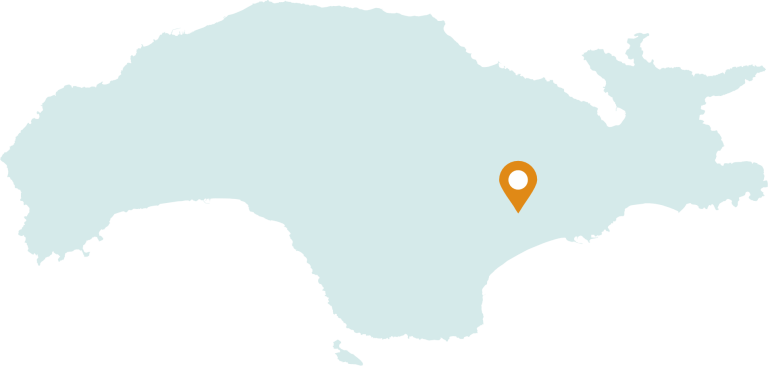
At the foothill of the Tsigol – which means flowering vine branch – we find the old capital of the island, Chora. The choice of its location during the settlement of Samos was not accidental. The life-giving water, necessary for the foundation of a settlement of the time, was provided by two sources that provided sufficient water supply for the inhabitants. From ancient times until today, the springs have been protected by two nymphs, the nymph Gigarto – that of Platanos – and Lefkothea – that of Messaki. The village is located southeast of the island in a pivotal point, with a panoramic view of the plain infront, with the airport, the Heraitis Gulf, the Straits of Asia Minor and the Dodecanese Islands. The town planning and residential arrangement of the village indicates the post-Byzantine way of organization. Chora was designed and built as a “CROSSED” village – a way of building at that time in the Orthodox Christian area of the Balkans. Its basic design was defined by a cross, with the center of the church of the Nativity of Christ in Mesaki, which in an imaginary line in this shape, its temples and chapels were built, so that the village would have divine protection. Each of its entrances began with a chapel and a fountain. The oldest church of the island is Panagia, which, since 1606 AD, over the centuries, has not stopped its operation. In the narrow alleys of the village in the central residential fabric, there is a fusion of Byzantine elements with modern houses harmonized in space. Round arched bridges, the ruler’s konaki, the Episcopate, the fountain of Kadi, the laundries of Messaki, have stood here for centuries, witnesses of a long history, where the eternal course and evolution of the island unfolds. The location of Chora has attracted residents from the surrounding villages in recent decades and a new village has been built on its plain, resulting in an increase in its population to 1500 inhabitants during the winter months, with a tripling in the summer months, since many workers in the tourism industry choose the village for residence. Villagers are engaged in tourism and cultivation of the olive plain which provides a valuable supplementary income. The Port of Chora is Potokaki, with an increased tourist potential that extends over a coastal zone of 6 km. The Daskaleio, the Kyrillios school and later the School of Chora laid the foundations for many eminent people who worked great. The scholar Zisimos Sideris, the Minister of the Presidency Nikolaos Themelis, four Patriarchs of Jerusalem – Cyril II, Ierotheos II, Timotheus I Irenaeus I – and many other scientists excelled in Greece and beyond. Today, the school of Chora is the fourth in size Primary school of the island. The village of Chora is 3.5 km from Pythagorio and 17 km from the city of Samos.

